Home Page

Showing posts with label Bryce Canyon National Park. Show all posts

Sunday, October 28, 2012

Using Local Material

I love the red rock of the Zion and Bryce National Parks, and its permutations of yellow or white, depending on which mineral leached into the porous sandstone over the millennium. I also love seeing how the Parks and the local communities work these local building materials into the landscape and garden design.

Photo op of the Virgin River - the red stone retaining wall
blends with the surrounding landscape.

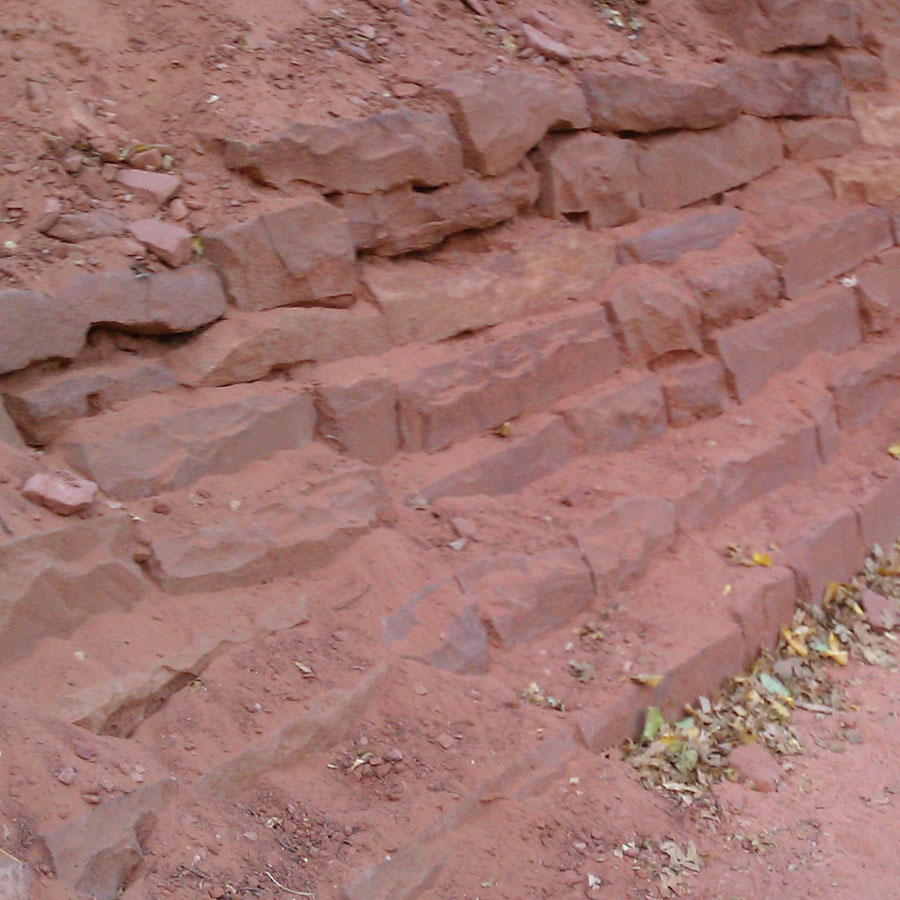
We saw many examples of this in both Parks. The roads in the park are colored red (very useful for determining when you are in or out of the park); and red rock is worked into the landscape as rocks, bricks, drainage ditches, retaining walls, and bench supports. I have seen this done well in other regions as well. In Alaska, folks use slate and granite; in the San Francisco Bay Area we use volcanic rock; in Spokane, they use basalt columns and polished river rocks.

Red rock retaining wall.
Freestanding red rock wall.
Red rock bricks around a drainage ditch in Springdale, Utah.
Red rock bricks used on a bench in Springdale.

The rocks and bricks come from a small local quarry, providing employment and building materials with a sense of place.

Chisel markings for a large rock brick.
Large rock bricks waiting for use or further sculpting.

Wednesday, October 17, 2012

Bryce Canyon National Park

One of our day trips from Zion was to Bryce Canyon National Park, established by President Harding in 1923. On a brilliant fall day, my husband and I followed highway 9 through the mile long Zion-Mt. Carmel tunnel. The tunnel was blasted through rock, completed in the 1930s, and provides quick access to the high country.


The Zion-Mt. Carmel tunnel.

Here, at higher elevation and away from plentiful water, the terrain and vegetation changes. Everything feels drier. Forests and plants become miniaturized. In Red Canyon in Dixieland National Forest, the rock is intensely red. We saw a dusting of snow in places. After the intense tangle of vegetation in Zion, it was refreshing to see the grand sweep of land and sky.


Intense red rock in Red Canyon in Dixie National Forest.

Sweeping views and miniature forests in the high country.

In Bryce Canyon National Park, we made a quick stop for maps and park information at the Visitor Center, then drove to the end of the road. With limited daylight, we decided to get the big picture on our way in, and note several stops to make on the way back. Our choices included Rainbow Point, Black Birch Canyon, Agua Canyon, Natural Bridge, and Farview Point. Like Zion during high tourist season, a shuttle moves visitors from stop to stop; off season you can drive.


Layered, sculpted rock and grand vistas in Bryce Canyon.

The geology was amazing. Each stop seemed to have its own fantastic shape – arches, bridges, pinnacles, hoodoos, and grand views of geological processes in the making. The air was cold and bracing, and the fall light dazzling. I enjoyed seeing the miniature manzanita, pines, and juniper. Where water was more plentiful, we saw full sized birch, pine, aspen, fir, and cottonwood. I learned about the ancient bristle cone pine.

In the foreground, a naturally pine bonsai; in the background,
the mysterious hoodoos bathed in light.

My husband and I arrived at the Thunderbird Restaurant at Mt Carmel Junction at dusk (we had heard reports of great pie). We enjoyed the warmth of the restaurant and our dinner and dessert; and reviewed the day’s events and digital photos. We drove back to Zion Lodge in the dark (one of the down sides to fall travel). The tunnel was completely empty, which was both freaky and exhilarating. Would anyone find us in the bowels of the earth if something went wrong? We arrived back at the lodge intact. It was an adventurous ending to a great adventure!

Sunday, October 7, 2012

Southern Utah in Fall

My husband and I love traveling in the fall, when leaves are turning colors, the light is fantastic, days are cooler, and crowds are fewer. This month I am reporting on a fall trip we made to Zion and Bryce National Parks in Southern Utah. Here climate, botany, and geology compete for attention!


Cedar Breaks National Monument, near Brian Head just north of Zion.
Minerals seep into the sandstone, to create the palette of colors;
water, wind, and time work together to weather the sandstone.

Southern Utah is in Sunset climate zone 2B, which has a balance of long, warm summers and chilly winters (great for orchards). The growing season can be 115 days in higher elevations, and more than 160 days in lower elevations. The lows for winter temperatures run 12 to 22 degrees Fahrenheit in October. When we visited in October, we encountered 60 to 70 degrees F. during the day, with high-30s and mid-40s at night. To learn more about the climate zone: http://www.sunset.com/garden/climate-zones/sunset-climate-zones-nevada-wyoming-utah-colorado-00418000067318/


The geology of Southern Utah is especially intriguing, as the Colorado and Mohave Desert Plateaus converge in this area. Zion National Park is located near the western margin of the Colorado Plateau; its waters drain into the Mojave Desert through the Virgin River. The Great Basin is in the northwest.

Virgin River, near the entrance to Zion. The river has been
at work over time to weather the sandstone.

Plants from all three locations—Colorado Plateau, Mojave Desert, and the Great Basin—can be found in this area. I found this intriguing – to see plants with which I am familiar from my travels in the deserts of Southern California, but in a different setting.

Landscape off I15, traveling south from Salt Lake City to Cedar City,
on the way to Zion. The dry terrain and foliage resembles
places in Southern California.